
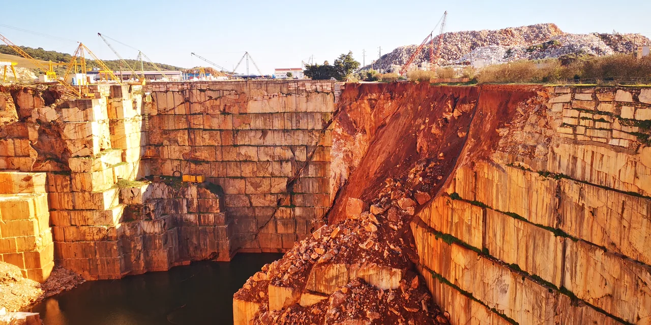
Locate the areas of interest
Send the location and, if possible, a plan showing the slope boundaries, access routes, nearby buildings and areas where changes have occurred.
Describe the geometry and what has changed
Share any known cross-sections, approximate slope height and inclination. From safe locations, record when you observed changes, cracks, runoff or falls of material.
Include the data you have
Include dated photographs, surveys, borehole records, test results, site notes and monitoring records. Identify where the data came from and the project stage they relate to.
Define the question the study should answer
Say whether you want to assess the current condition, prepare remedial works or compare observations over time. This helps determine what further data and outputs are needed.
Related service: Geology, Geotechnical Engineering and Stability