
Sectors
Services and monitoring programmes organised by field of work.
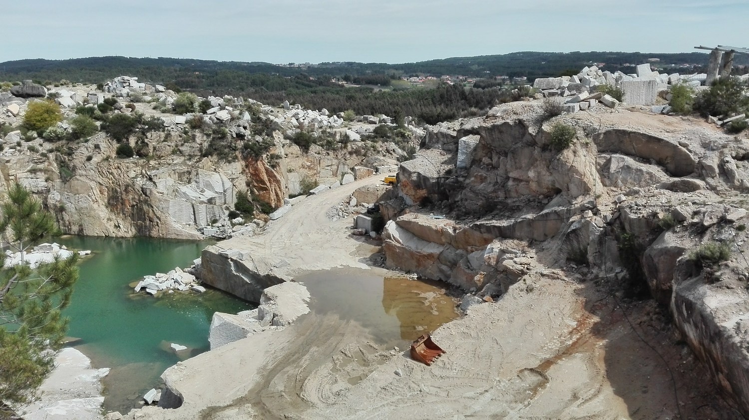
Quarries
Planning and operational support for quarries, from mapping and volume measurement to slope assessment and landscape restoration.
Mines
Ground characterisation and mapping, preparation of technical documents for extraction, and integration of the technical and environmental information used to monitor operations.
Construction and demolition
Surveying and setting out for design and construction. Assessment of rock masses and the surrounding area where rock excavation or demolition is planned.
Public works
Mapping, setting out and recording construction progress, with information on the terrain, volumes and conditions to monitor as the work proceeds.
Environment and nature conservation
Studies, mapping and monitoring to understand site conditions, track changes in habitats and aquatic environments, and assess restoration measures.
Renewable energy
Site characterisation, land-use context, environmental studies and information to support project design and monitoring campaigns.
Industry
Support with permitting and technical monitoring of environmental parameters, including water, noise and dust where relevant to the activity.
Local authorities and public bodies
Surveying, mapping and management of geographic information to plan works and track changes across an area.
Landowners, cadastre and land management
Support with identifying and mapping land parcels through surveying, georeferencing and an assessment of the land-use context, based on the information available.
Tell us about your project
Tell us the location, stage of work and outcome you need.