
ENGINEERING · ENVIRONMENT · LAND MANAGEMENT
Understand the ground.
Make informed decisions.
Studies, design, permitting and monitoring for construction, extractive operations and land management.
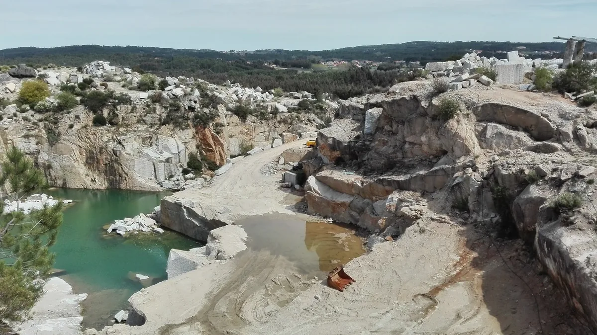
Quarries and mines
Extraction planning, design, site monitoring and landscape restoration.
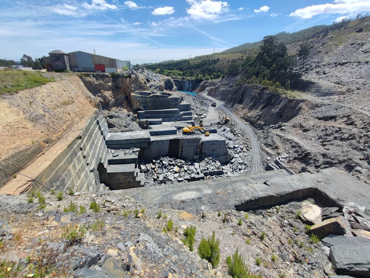
Surveying and cadastre
Surveying, construction setting out, land parcel mapping and technical cartography.
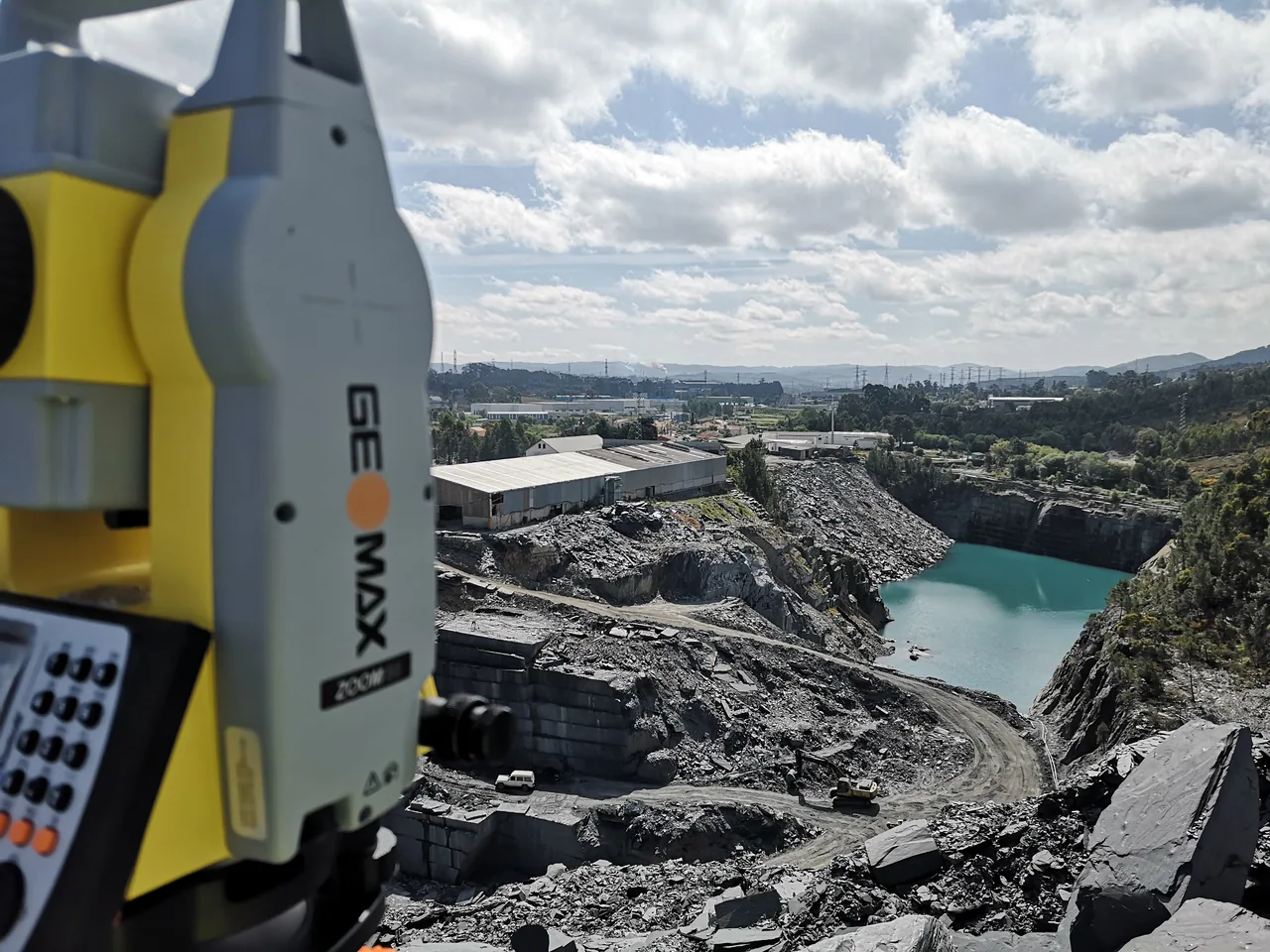
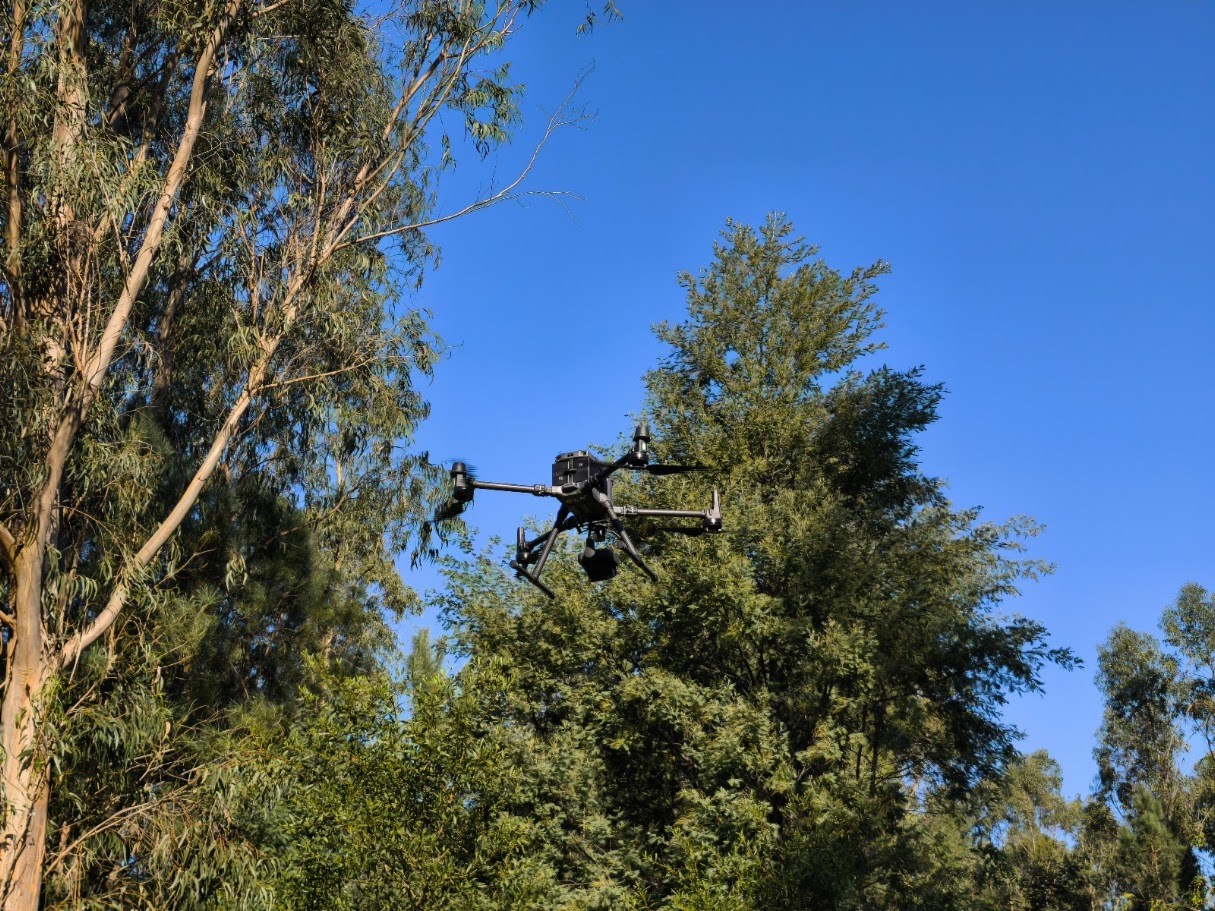
Photogrammetry and LiDAR
Drone surveys, 3D models and comparisons of volumes over time.
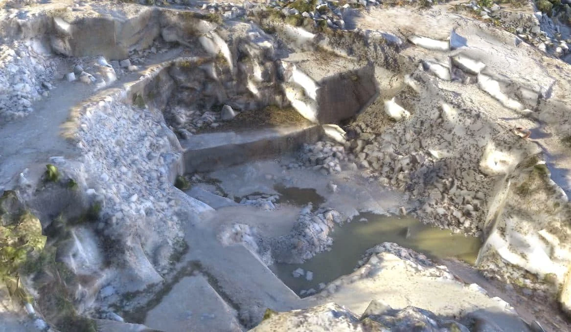
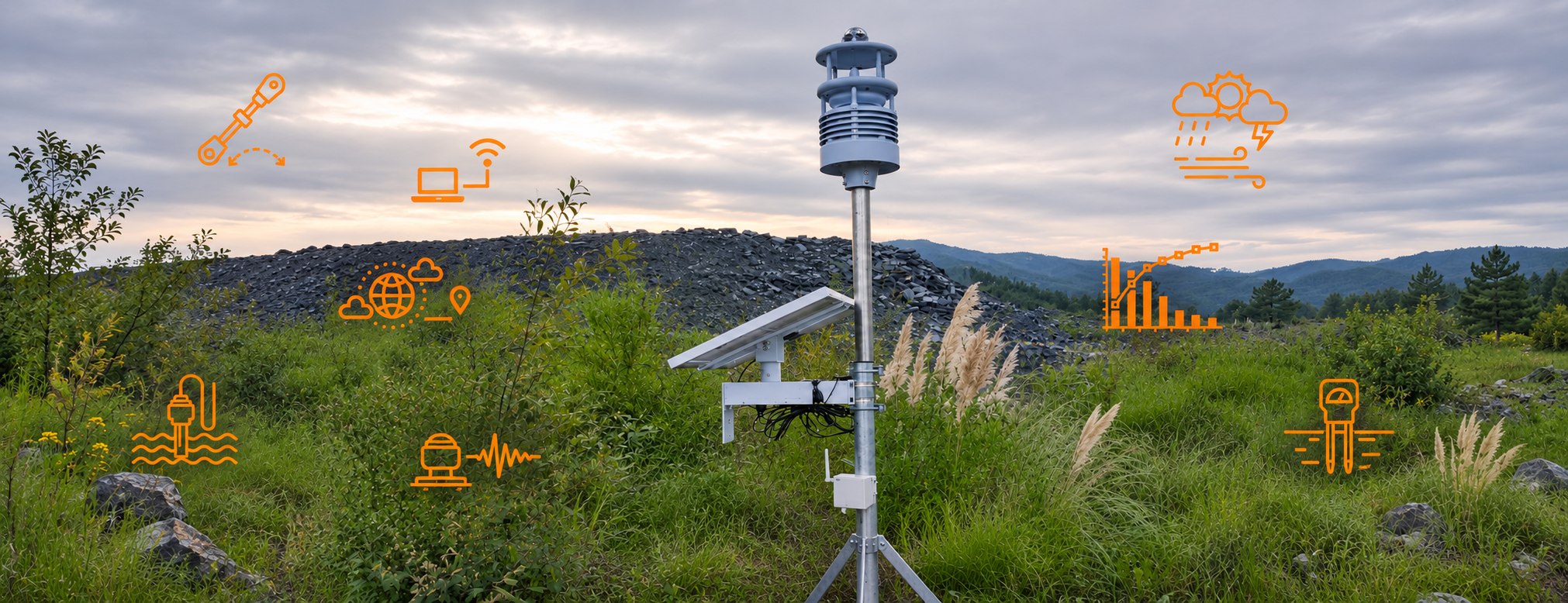
Geotechnical monitoring
Monitoring movement and conditions in slopes, quarry faces and structures.
Technical services
We start with the project’s purpose and the information available. This helps us define the surveys, studies and deliverables appropriate to the site.
MONITORING
Track change on the ground
We plan geotechnical, environmental and ecological monitoring around the purpose of the work. Records can feed into reports and web GIS platforms.
Explore monitoring programmesWhere we work
Find the technical services relevant to your sector.
Quarries
Planning and operational support for quarries, from mapping and volume measurement to slope assessment and landscape restoration.
Mines
Ground characterisation and mapping, preparation of technical documents for extraction, and integration of the technical and environmental information used to monitor operations.
Construction and demolition
Surveying and setting out for design and construction. Assessment of rock masses and the surrounding area where rock excavation or demolition is planned.
Technical resources
Gather the information you need to request a proposal.
How to prepare for a topographic survey
Four pieces of information that help define the survey area, level of detail and delivery format before fieldwork.
Which files to request from a photogrammetric survey
Choose an orthophoto map, point cloud, model or volume schedule based on the work you need to do.
What to provide when requesting a slope assessment
Gather information on the ground, observed changes and planned works to help define the scope of the technical assessment.
Tell us about your project
Tell us the location, stage of work and outcome you need.