
Building rehabilitation in Leiria
A case study in architectural surveying, topography, defect recording and 3D modelling.
Explore rock works from the GEOteKnics archive and see how we record terrain at extraction sites.
GEOteKnics photographs with locations identified in the original archive.
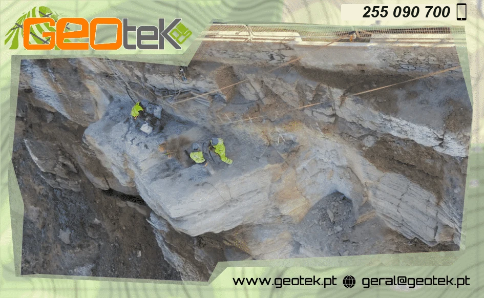
A team working on a rock face.
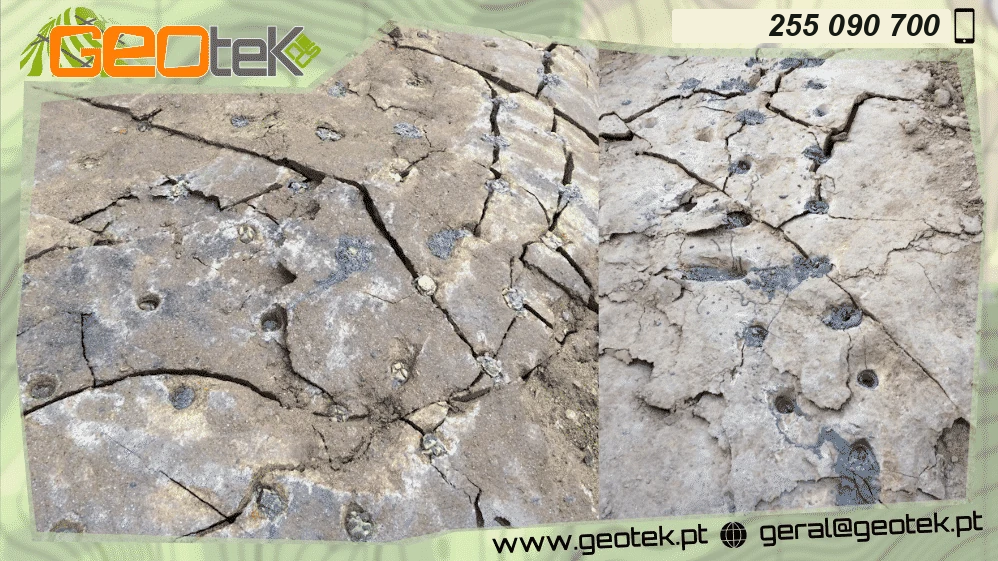
Details of the rock surface showing visible cracks and drill holes.
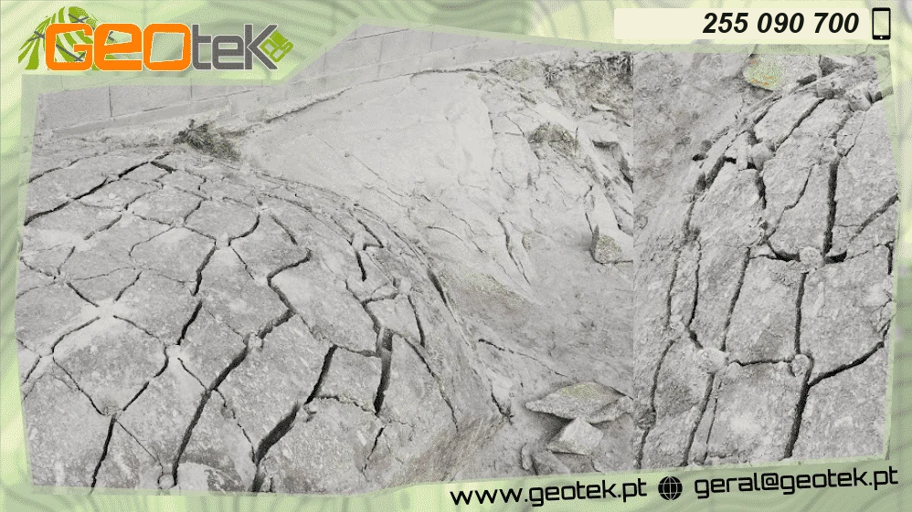
Wide view and detail of fractured rock.
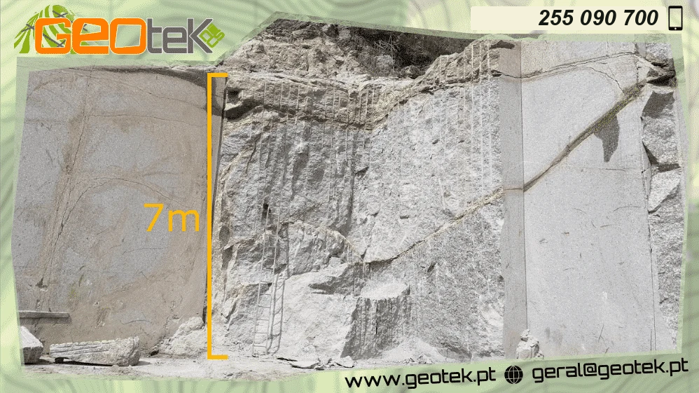
View of the rock face from the base.
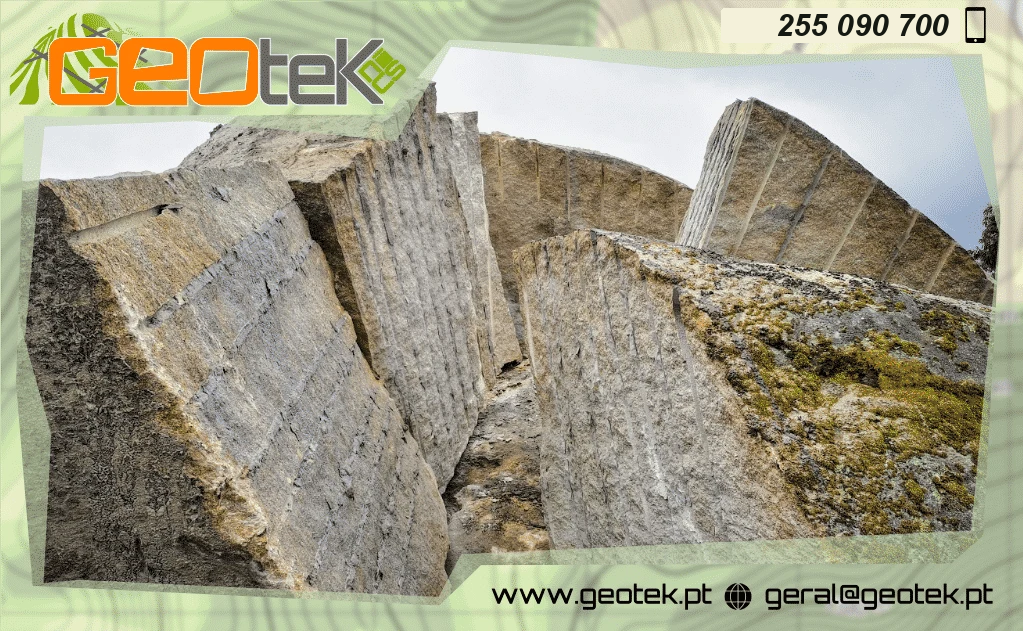
Photograph of a dimension stone operation. The archive does not identify the location.
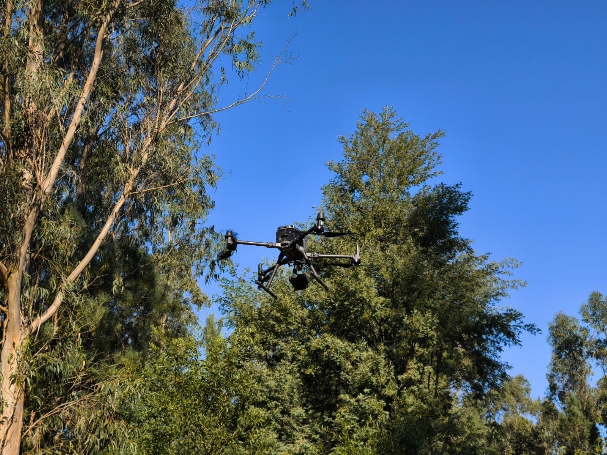
Surveying, photogrammetry and field observations can document the geometry of an extraction site. The method and deliverables depend on the purpose of the work.
Explore surveying and cadastreIllustrations based on GEOteKnics field photographs.
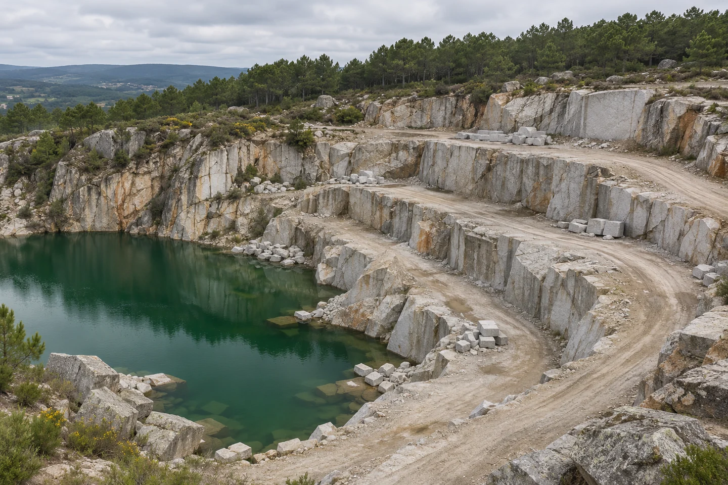
Extraction faces, access routes and a pond in a granite quarry.
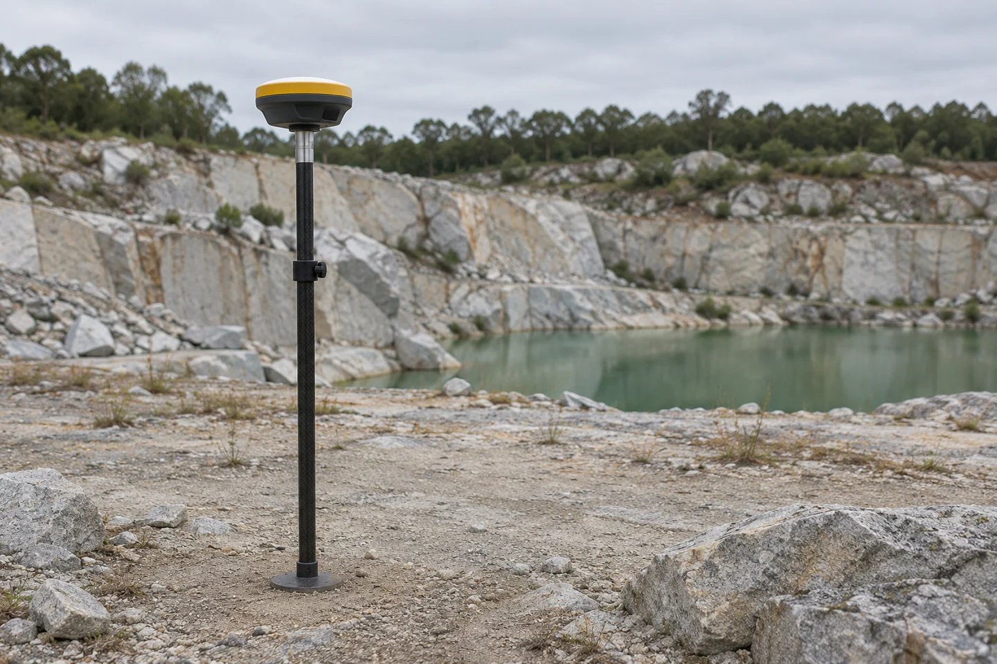
Positioning equipment used for field surveys.
Tell us the location, stage of work and outcome you need.
A case study in architectural surveying, topography, defect recording and 3D modelling.