
Technical services
Surveys, studies and support for design, operations and permitting.
01Topographic Surveys, Land Cadastre and GeoreferencingSurveying, construction setting out, land parcel mapping and technical cartography.
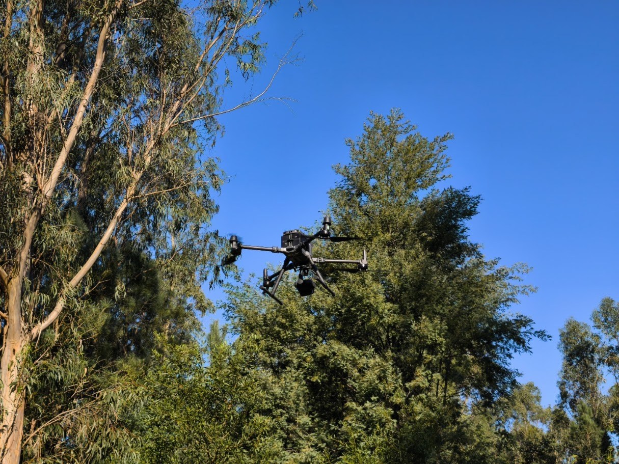
02Photogrammetry, LiDAR, Laser Scanning and 3D ModellingDrone surveys, 3D models and comparisons of volumes over time.
03Bathymetry and Technical HydrographySurveys of underwater surfaces and estimates of submerged volumes.
04GIS, Web GIS and Decision SupportMaps, geographic databases and access to data in a web browser.
05Quarries, Mines and EarthworksExtraction planning, design, site monitoring and landscape restoration.
06Geology, Geotechnical Engineering and StabilityGround and rock mass characterisation, technical studies and slope assessment.
07Environment, Permitting and Impact AssessmentStudies and technical documents for environmental and industrial permitting.
08Water and Environmental QualitySampling and monitoring of surface water, groundwater and effluent.
09Rock Excavation and Technical DemolitionSite assessment, planning and technical oversight of the works.
10Technical TrainingPractical training for design, site and operations teams.
Tell us about your project
Tell us the location, stage of work and outcome you need.