
Quarries
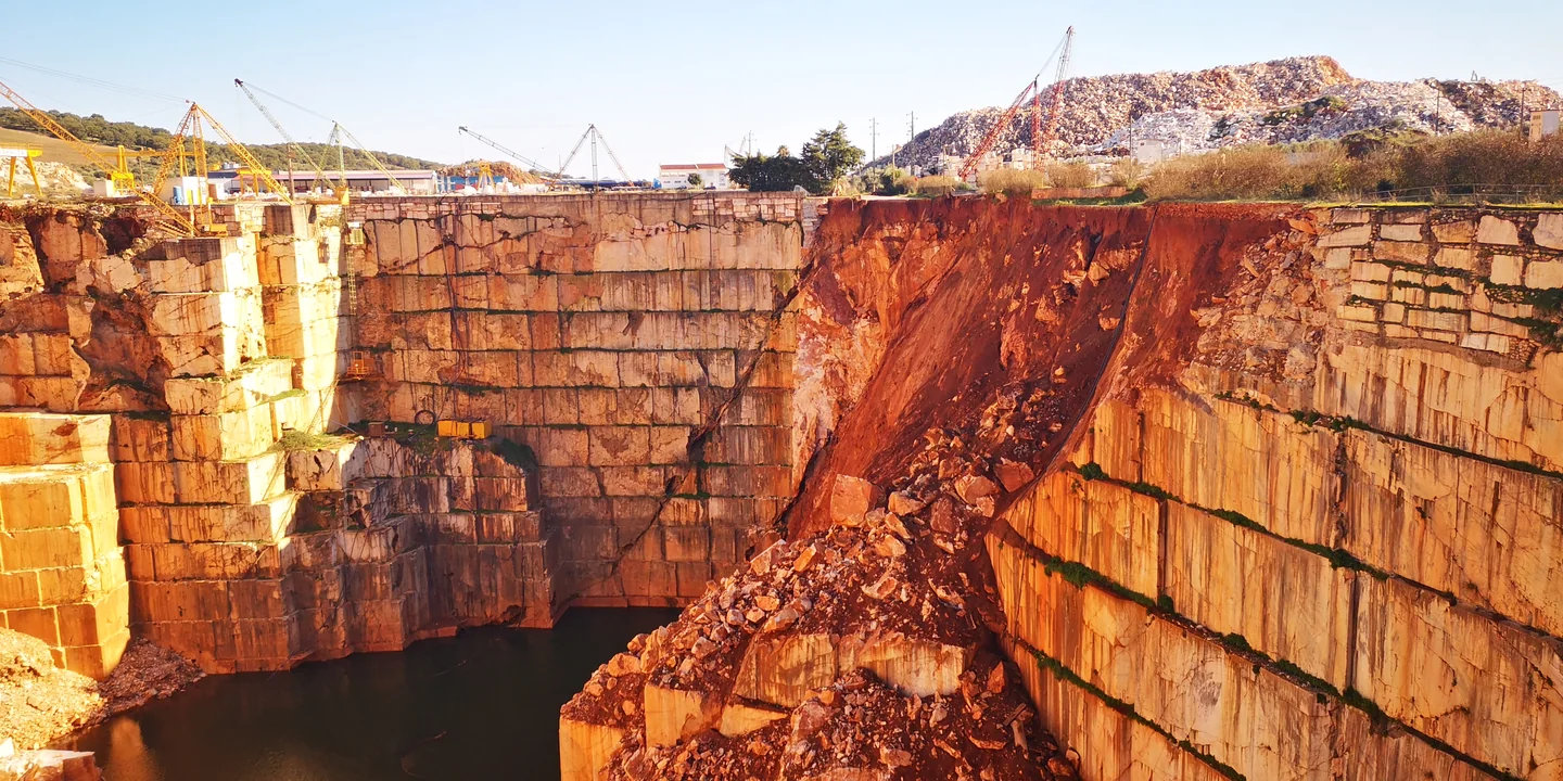
Planning and operational support for quarries, from mapping and volume measurement to slope assessment and landscape restoration.
Relevant services
The scope depends on the site, the stage of work and the data available.
Quarries, Mines and Earthworks
Extraction planning, design, site monitoring and landscape restoration.
Photogrammetry, LiDAR, Laser Scanning and 3D Modelling
Drone surveys, 3D models and comparisons of volumes over time.
Geology, Geotechnical Engineering and Stability
Ground and rock mass characterisation, technical studies and slope assessment.
Bathymetry and Technical Hydrography
Surveys of underwater surfaces and estimates of submerged volumes.
Tell us about your project
Tell us the location, stage of work and outcome you need.