
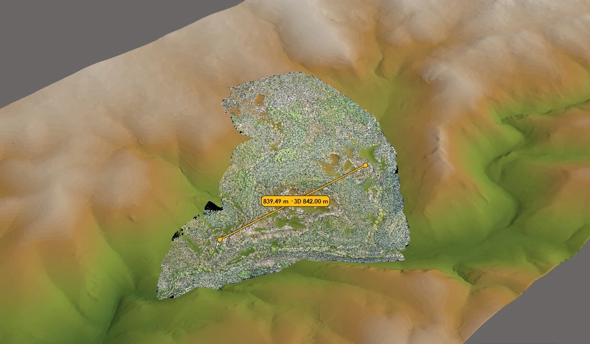
Scope of work
- Integration of field data with geographic layers and operational records.
- Configuration of maps or dashboards for tracking data series, surveys and sites.
- Definition of reports, alerts and recipients according to the programme.
Deliverables to agree
- A monitoring map or dashboard with the agreed indicators.
- Regular reports, data series or exchange files, depending on the scope.
- A description of how to update and access data, report events and respond.