
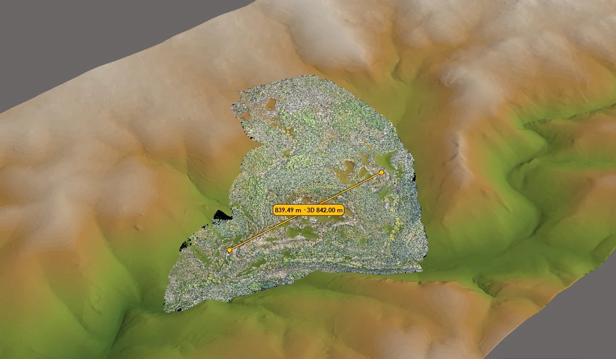
Scope of work
- GIS planning, data processing and validation, and thematic mapping.
- Design of geographic databases and integration of information from different sources.
- Publication of Web GIS maps and definition of access and editing permissions.
Deliverables to agree
- Maps, geographic layers or databases structured as agreed.
- A GIS project or Web GIS map with views and queries suited to the task.
- A description of data sources, update rules and validation criteria.