
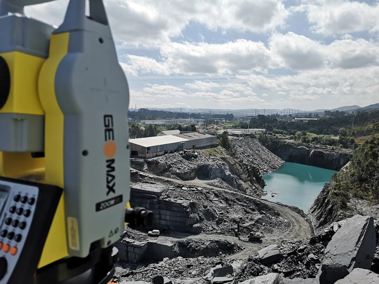
Scope of work
- Topographic surveys of natural and built terrain and other features relevant to the site.
- Cadastral surveys, georeferencing and mapping of land parcels in their wider context.
- Setting out and marking proposed works on site.
Deliverables to agree
- Site plan showing horizontal positions and levels, with georeferenced aerial imagery where useful.
- Coordinates or georeferenced files in the agreed coordinate reference system.
- Setting-out records or cadastral documents, depending on the scope.
What should I include in a brief for a topographic survey?
Share the site boundary and what the survey will be used for, such as design, setting out works or georeferencing a land parcel. Include any existing plans and files, with their dates and coordinate reference system if known. The intended use helps determine what to capture, how much detail is needed and which formats your team can use.