
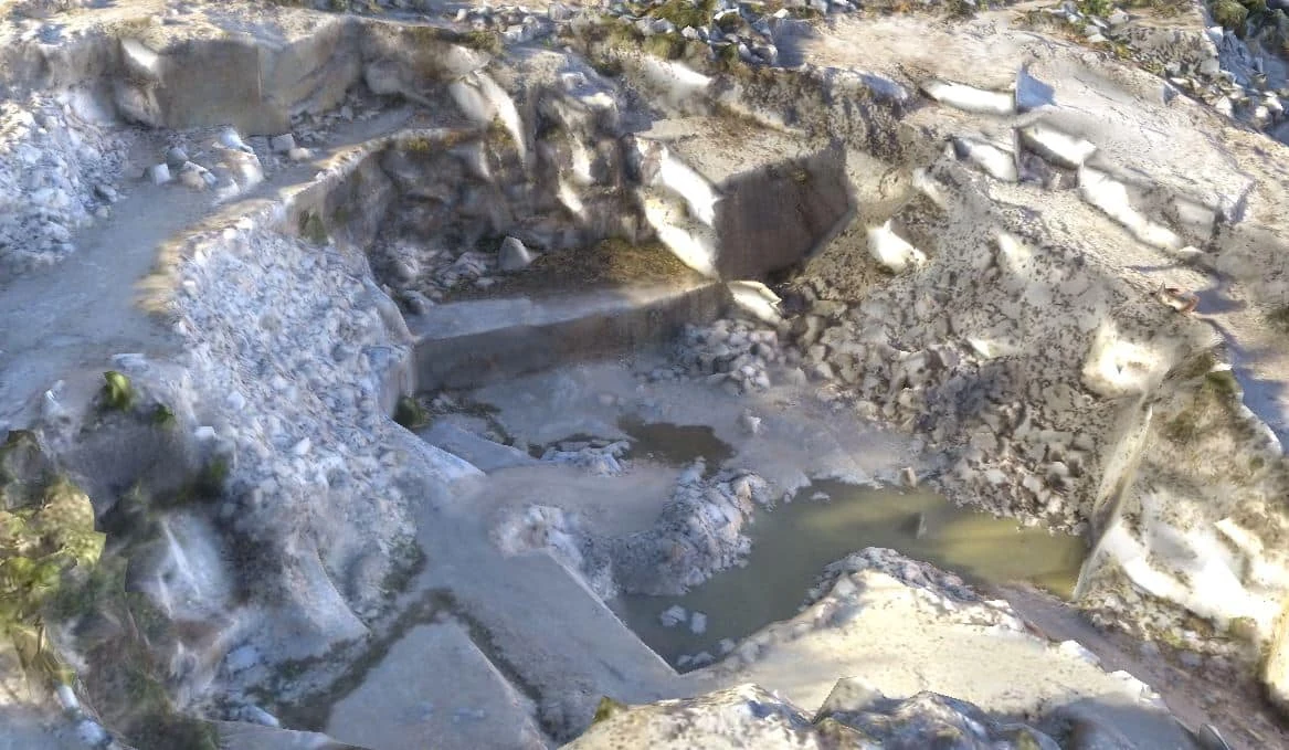
Orthophoto map for viewing and locating features
Use it to see the surface in plan view and relate features to other layers. Specify the coverage, resolution and coordinate system so the file can be integrated into your project.
Point cloud for exploring geometry
Choose this when the team needs to filter points, extract sections or model surfaces in three dimensions. Agree on the file format, point density and any classification required.
Model for representing terrain or a surface
Explain whether you need bare terrain or the surface as observed. The available outputs depend on how the data were captured and on site conditions.
Volume schedule for comparison
Define the boundary, date and reference surface. When repeating a survey, use comparable parameters and record any differences in coverage or method.
Related service: Photogrammetry, LiDAR, Laser Scanning and 3D Modelling