Scope of work
- Drone photogrammetry, LiDAR or laser scanning, depending on the site.
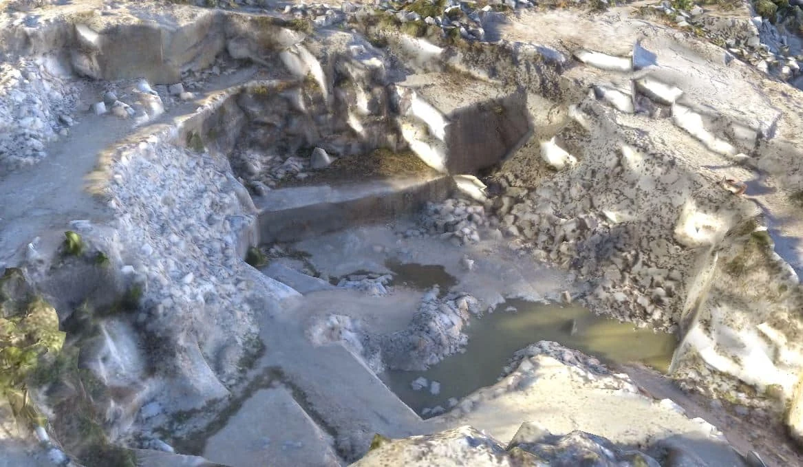
- Survey and inspection of quarries, construction sites, slopes and stockpiles.
- Volume calculations and surface comparisons between surveys.
Deliverables to agree
- An orthophoto map, point cloud or digital terrain model, depending on the survey.
- A 3D terrain model to measure areas and assess slope gradients.
- Volume tables showing the baseline surface, survey area and date.
What can I ask for from a drone survey?
An orthomosaic lets you locate features on a plan. A point cloud or digital model helps you examine the geometry and extract sections. To compare volumes between surveys, specify the boundary, dates and reference surface. The choice between drone photogrammetry and LiDAR depends on site conditions and what you need the survey to deliver.