Compare orthophotos
An interactive swipe tool lets you compare imagery from two surveys on the same map. On a construction or quarry site, this helps track changes to a working face, access route or area under development.
Draw an elevation profile
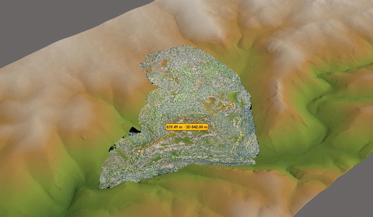
Draw a line along an access route or across a slope to see how elevation changes. You can export the profile as a PDF and share it with the project team.
Calculate cut and fill volumes
Outline the study area and select two surfaces to calculate cut and fill volumes and generate a report. Check the survey dates, reference surface and area boundaries before interpreting the results.