Scope of work
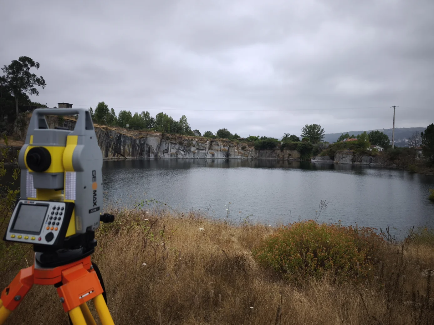
- Topographic monitoring of movement in slopes and extraction faces.
- Monitoring with crack gauges, inclinometers or piezometers, depending on the objective.
- Planning of surveys and definition of criteria for observation and reporting.
Deliverables to agree
- Series of observations and visualisations of changes over time.
- Reports on trends, events and data limitations.
- Records of the measurement conditions and frequencies set in the programme.
What should a geotechnical monitoring programme define?
Identify the slopes, quarry faces or structures to monitor and describe any changes already recorded. Share previous readings and a list of any instruments in place. The programme specifies where and how often to measure and how to report the results. Monitoring can use topographic measurements and sensors suited to the behaviour under investigation.