
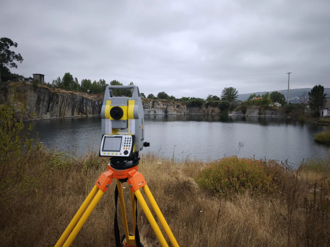
Scope of work
- Bathymetric surveys tailored to the area and water access conditions.
- Bed modelling and integration with bank survey data where available.
- Calculation of submerged volumes for a defined boundary and reference level.
Deliverables to agree
- A bed model, bathymetric chart or profiles, depending on the agreed work.
- A volume estimate for the defined area and reference level.
- A description of coverage, source data and survey limitations.